The Costa Brava runs through three counties —la Selva, el Baix Empordà and l'Alt Empordà— and takes in 22 coastal municipalities of the Girona shore. Within these municipalities, however, we find many other settlements with an identity of their own, some as well known as Calella de Palafrugell, Llafranc, Tamariu, l'Estartit or s'Agaró. For this reason, talking about the number of “Costa Brava towns” can be confusing: administratively we can speak of 22 coastal municipalities, but the number of towns, villages and inhabited centres tied to the coast is higher.
Where does the name Costa Brava come from?
The name Costa Brava has more than a century of history. The journalist, poet and politician Ferran Agulló used it as a place name in the article Per la Costa Brava, published in La Veu de Catalunya on 12 September 1908.
Agulló described a rugged, rocky, wild coast shaped by the Mediterranean. Over the years, that phrase would come to identify the Girona coast internationally and become one of the most recognised tourist names in Catalonia.
The 22 coastal municipalities of the Costa Brava
Administratively, the Girona coast includes 22 municipalities, spread across three counties:
- Alt Empordà: Portbou, Colera, Llançà, el Port de la Selva, Cadaqués, Roses, Castelló d'Empúries, Sant Pere Pescador and l'Escala.
- Baix Empordà: Torroella de Montgrí, Pals, Begur, Palafrugell, Mont-ras, Palamós, Calonge i Sant Antoni, Castell d'Aro, Platja d'Aro and s'Agaró, Sant Feliu de Guíxols and Santa Cristina d'Aro.
- La Selva: Tossa de Mar, Lloret de Mar and Blanes.
Some of these municipalities include several well-known centres. Palafrugell, for example, takes in Calella de Palafrugell, Llafranc and Tamariu; Torroella de Montgrí includes l'Estartit; and the municipality of Castell d'Aro, Platja d'Aro i s'Agaró groups three distinct centres. In fact, this is the municipality's official name since the change approved in 2023.
From Blanes to Tossa de Mar: the southern gateway of the Costa Brava
Blanes traditionally marks the southern start of the Costa Brava. The Sa Palomera rock, between Blanes beach and s'Abanell beach, has symbolically become the gateway to the Girona coast. The town keeps a deep seafaring and fishing tradition and is also known for its botanical gardens and its coastal scenery.
A little further north is Lloret de Mar, one of the towns with the greatest tourist profile on the whole Costa Brava. Its hotel development has made it an international destination, but the municipality also preserves coves, coastal paths, historic heritage and spots such as the Santa Clotilde gardens.
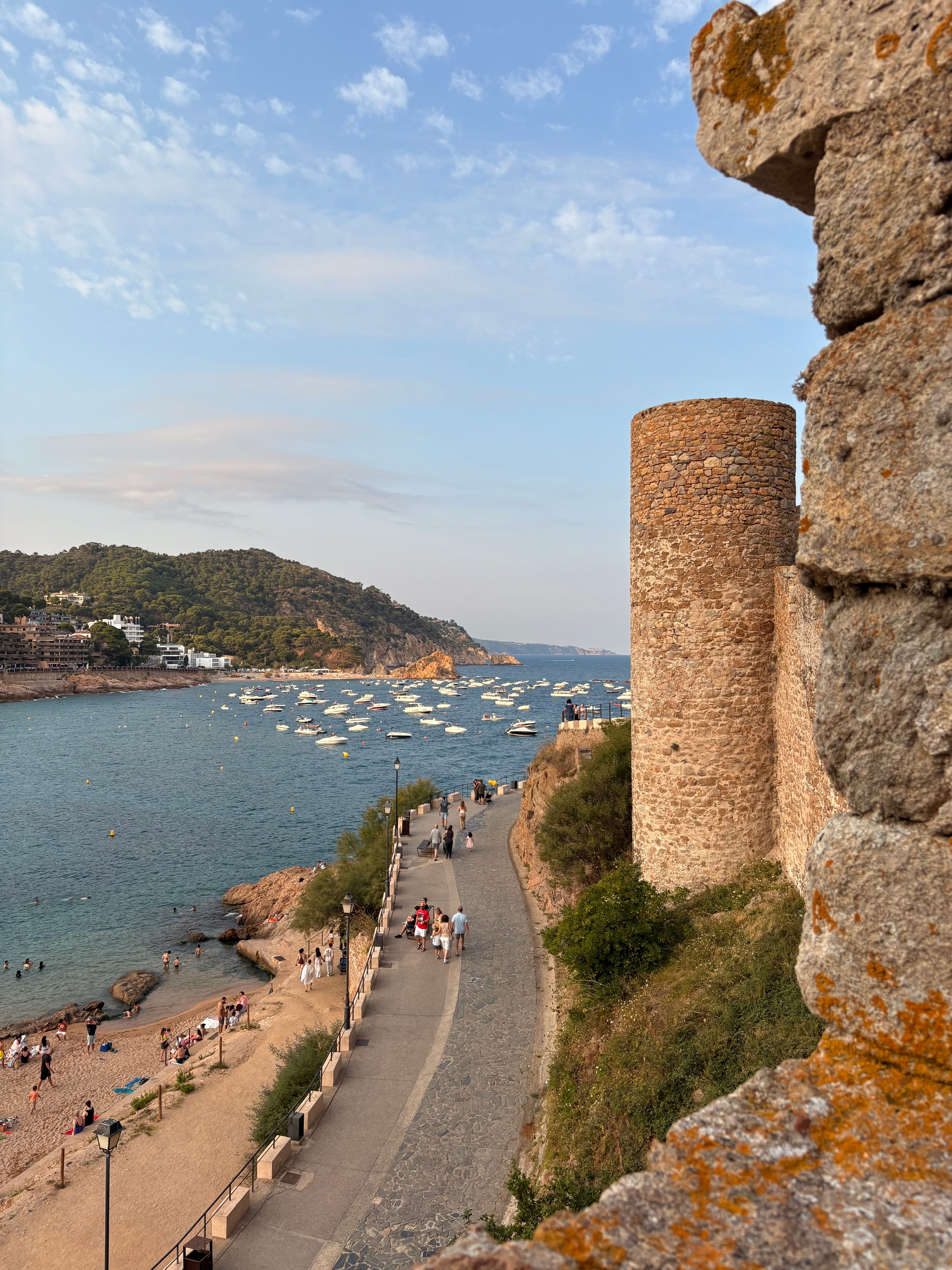
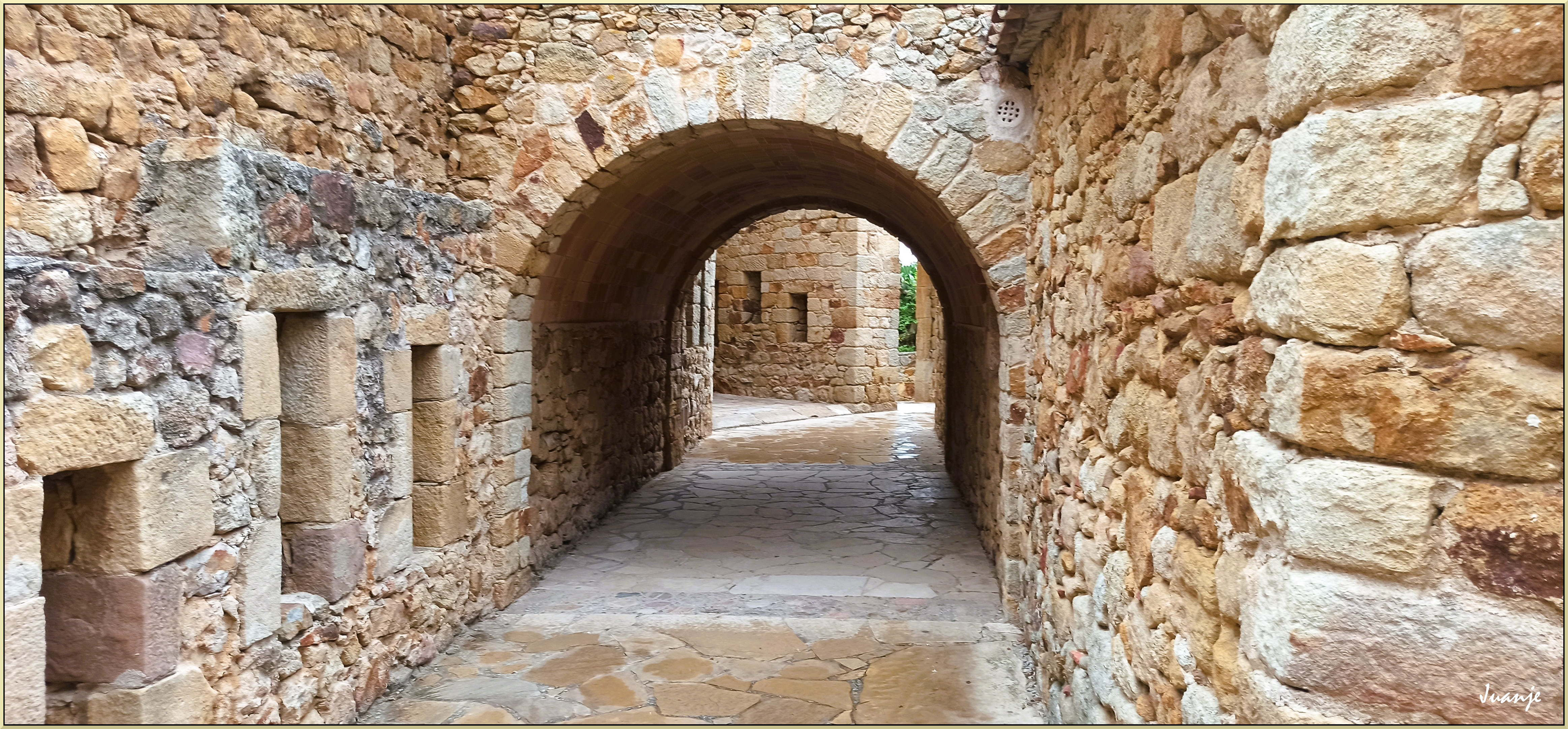
Tossa de Mar, by contrast, offers one of the most distinctive historic images of the coast. The Vila Vella, with its walled enclosure right beside the Mediterranean, creates an unmistakable silhouette. The combination of medieval heritage, small coves, cliffs and Mediterranean vegetation makes Tossa one of the most representative landscapes of the Costa Brava.
Sant Feliu, s'Agaró and Platja d'Aro: between history and the Mediterranean
On reaching the Baix Empordà, Sant Feliu de Guíxols represents a Costa Brava closely tied to the sea, its old trades and cultural heritage. The monumental complex of the monastery and the Porta Ferrada sits alongside beaches, coves and a rocky coast crossed by the coastal paths.
Beside it, s'Agaró shows another way of understanding the Mediterranean landscape. The historic s'Agaró development and its well-known coastal path integrated architecture and landscape in an especially well-cared-for setting.
Platja d'Aro, for its part, is one of the great commercial, hotel and leisure centres of the Costa Brava. Its long beach and its concentration of services explain much of its tourist importance.
Palamós and the culture of the sea
Further north is Palamós, one of the towns where the relationship between the town and the sea remains especially visible. Its fishing port keeps alive an activity that has shaped the local history, cuisine and identity.
Fishing and seafaring cooking are an inseparable part of Palamós, with the Palamós prawn having become one of the best-known gastronomic products in the area. Here the Costa Brava is not only landscape: it is also culture, trade and a way of life.
Calella de Palafrugell, Llafranc and Tamariu: the seafaring essence
The municipality of Palafrugell brings together three of the most emblematic coastal centres of the Baix Empordà: Calella de Palafrugell, Llafranc and Tamariu.
Calella de Palafrugell keeps a deeply Mediterranean image, with small beaches, boats, white houses and the characteristic arcades facing the sea. Its connection with the havaneres is also part of its cultural heritage.
Llafranc keeps a seafaring character combined with a long tourist tradition, while Tamariu preserves a smaller scale, surrounded by rock and vegetation.
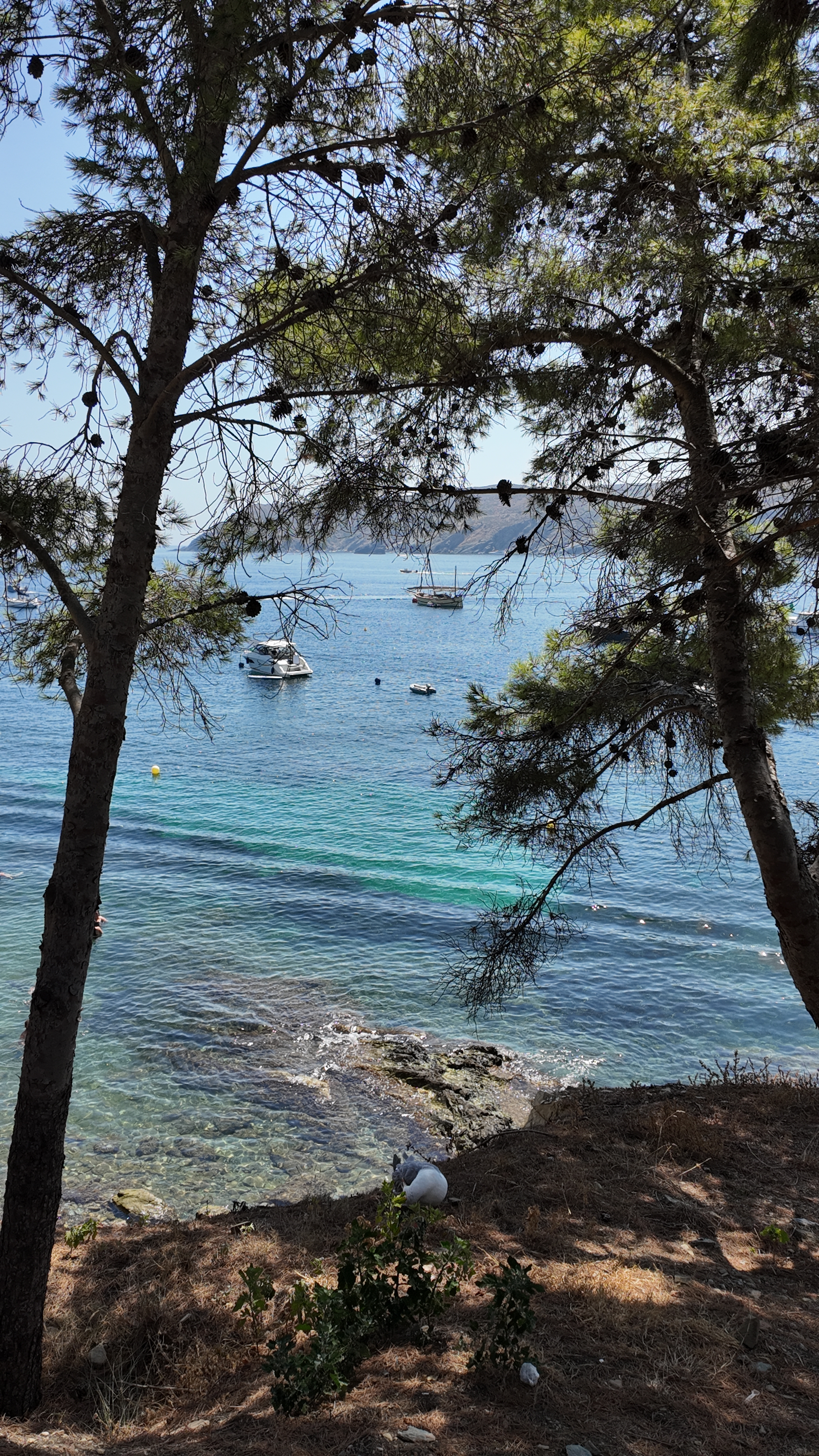
Together they help us understand one of the most recognisable images of the Costa Brava: that of a Mediterranean on a human scale, where houses, boats, pines and the sea are all part of the same landscape.
Begur and its coves
Begur represents a more rugged Costa Brava. Its historic centre, presided over by the castle remains, sits inland, while its municipal area drops down to the Mediterranean through a coast full of small bays and coves.
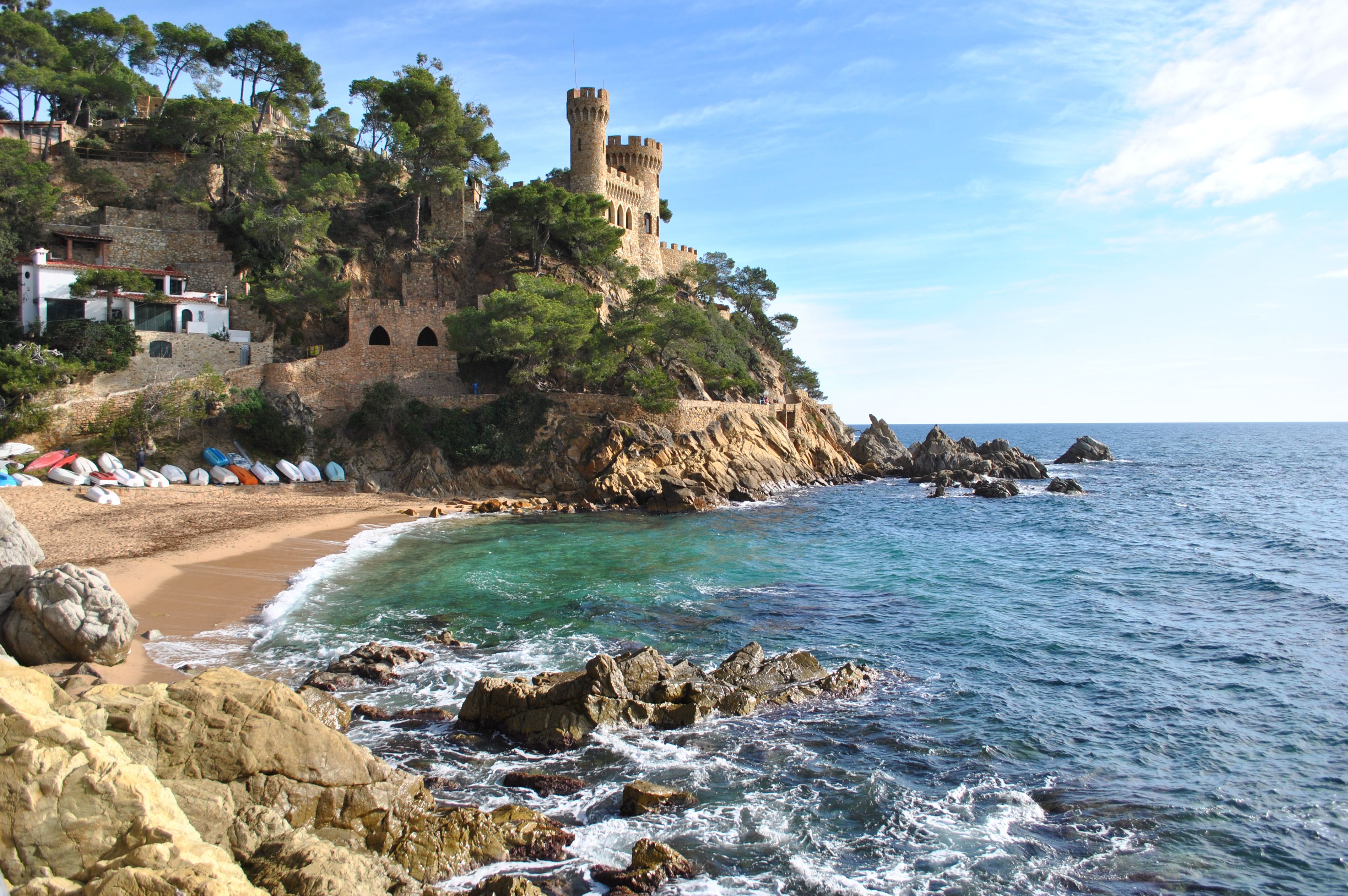
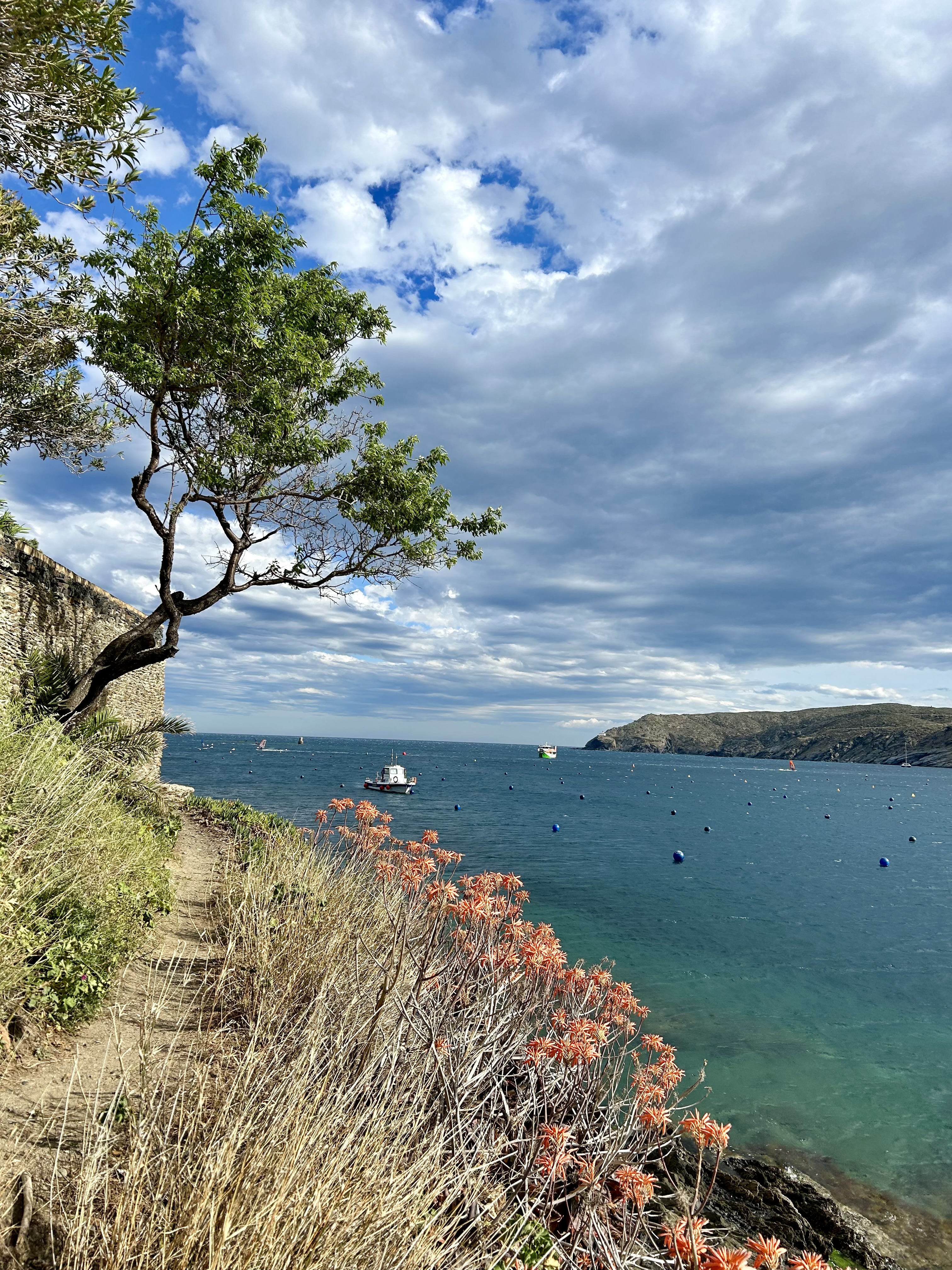
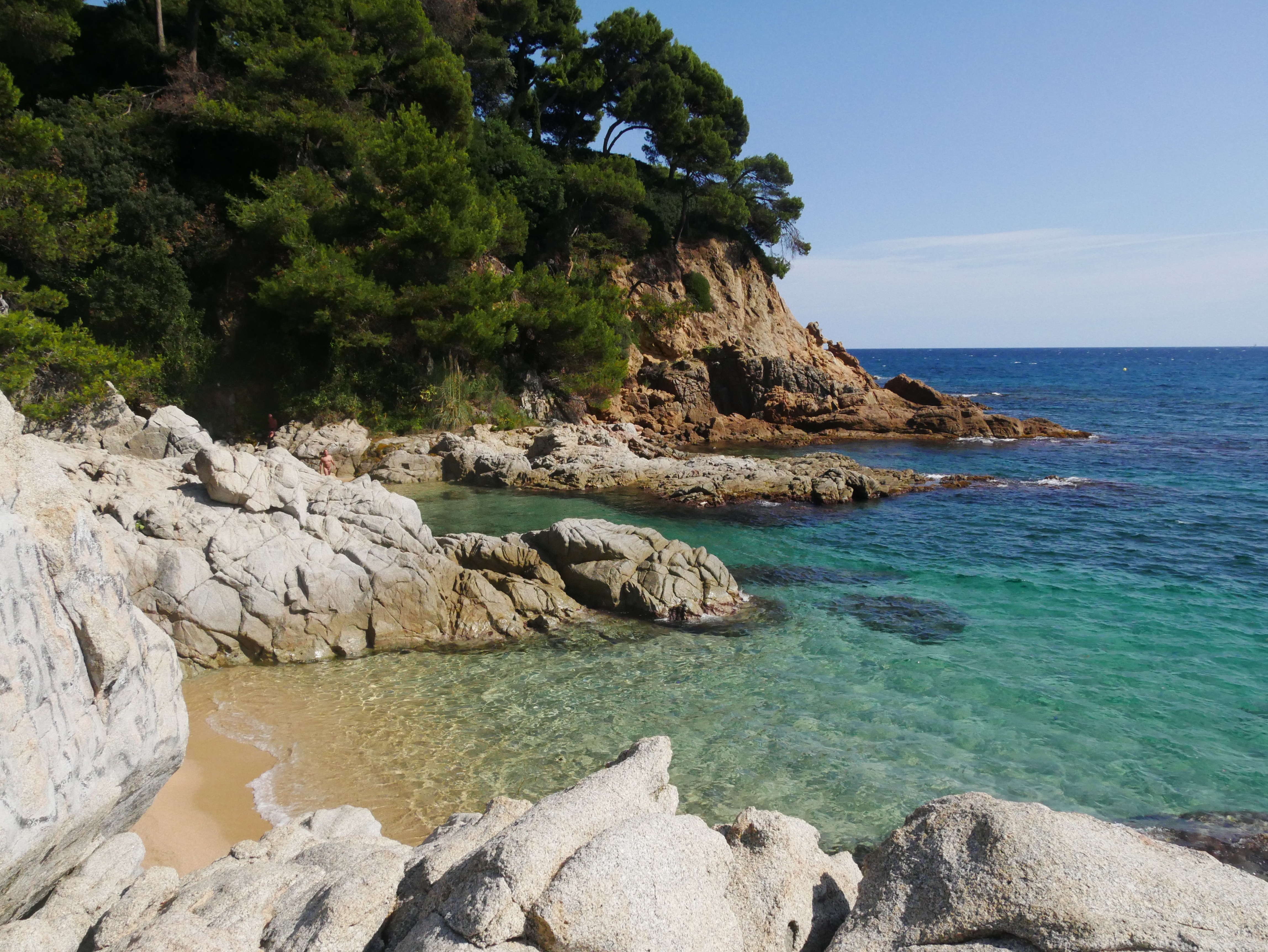
Sa Riera, Sa Tuna and Aiguablava are some of its best-known spots. Here, the cliffs, the pines and the water create landscapes that perfectly explain the origin of the adjective “brava” (wild).
Pals, Torroella de Montgrí and l'Estartit: when the landscape opens up
As we move north, the coastline's profile changes. The setting of Pals combines a long beach with dunes, wetlands and farmland, while its well-known medieval centre stands a few kilometres inland.
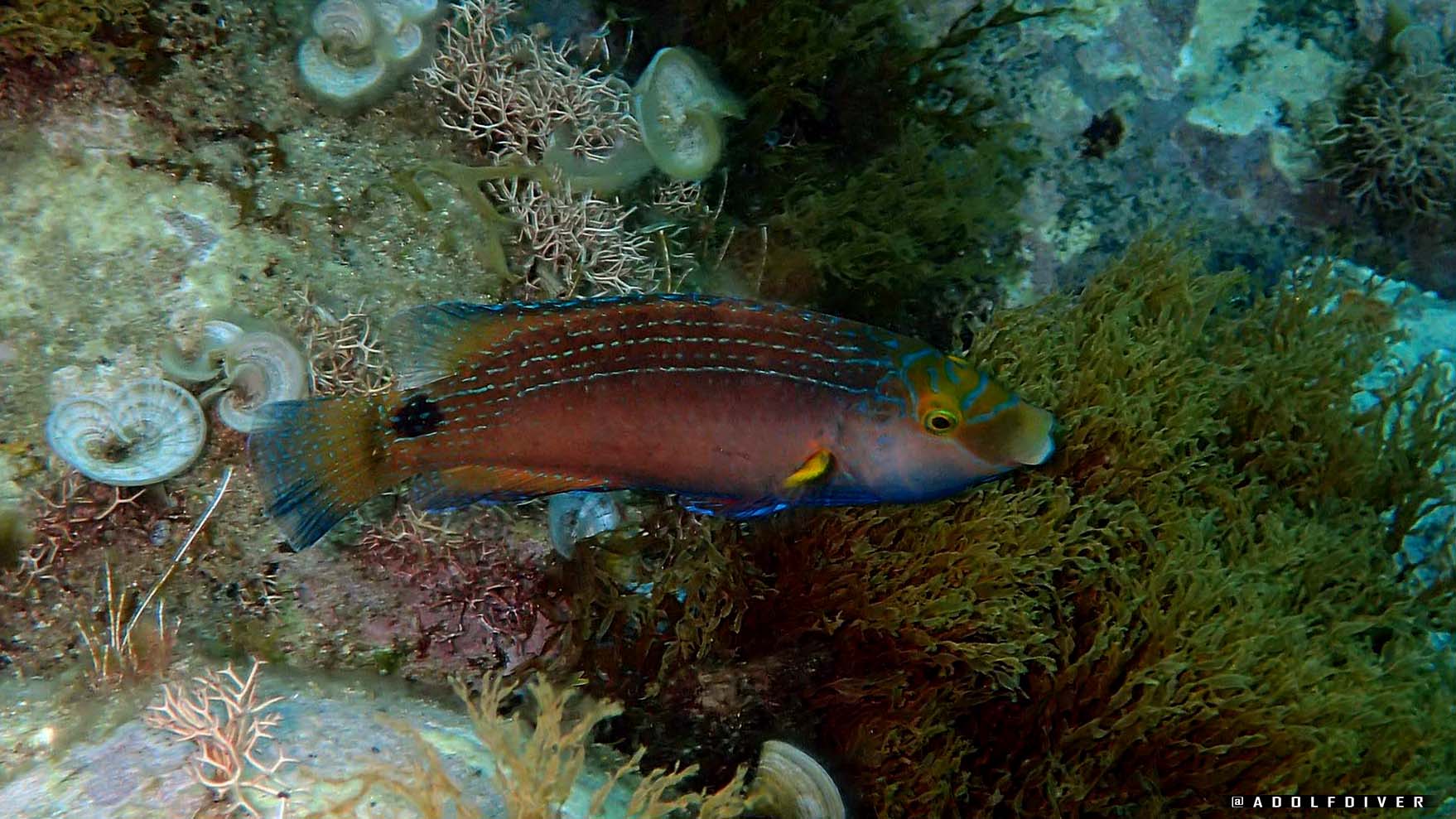
Further north, Torroella de Montgrí and the coastal centre of l'Estartit form an area of great natural value. Off l'Estartit rise the Illes Medes, one of the most emblematic marine areas of the Catalan coast and a reference point for diving and observing the marine environment.
L'Escala and Empúries: more than two thousand years facing the Mediterranean
L'Escala combines the fishing tradition with one of the most notable historic heritages on the Catalan coast. Its anchovies are part of its gastronomic identity, but its importance goes much further.
Right by the sea lie the remains of Empúries, where Greeks and Romans left an extraordinary mark. Few places on the Costa Brava allow you to observe so directly the relationship between the Mediterranean, landscape and history.
Castelló d'Empúries, Sant Pere Pescador and the Bay of Roses
The great Gulf of Roses brings in a landscape very different from the rocky coves of the Baix Empordà. Here appear much longer beaches and wetlands of enormous ecological value.
Sant Pere Pescador stands out for its long beaches and the landscape of the Fluvià estuary, while Castelló d'Empúries combines an important historic complex with the coastal centre of Empuriabrava, known for its large network of canals.
Between the two municipalities lies part of the landscape of the Aiguamolls de l'Empordà, a reminder that the Costa Brava is not made up only of cliffs and coves, but also of dunes, lagoons, estuaries and wetland plains.
Roses, the great gateway to Cap de Creus
Roses occupies a privileged position at the north of its wide bay. It is a town with a long Mediterranean history and considerable tourist, fishing and sailing importance.
Its Citadel, the port, the beaches and the nearness of Cap de Creus explain its significance. From Roses onwards the landscape starts to change again: the coast becomes progressively rockier, more mineral and more exposed to the tramuntana.
And it is precisely here that we come close to one of the most distinctive territories on the whole Costa Brava.
Cadaqués: a landscape with an identity of its own
Cadaqués is hard to confuse with any other town on the Mediterranean.
Sheltered by the mountains of Cap de Creus, the town appears before a natural bay as a succession of white houses climbing from the sea up to the church of Santa Maria.
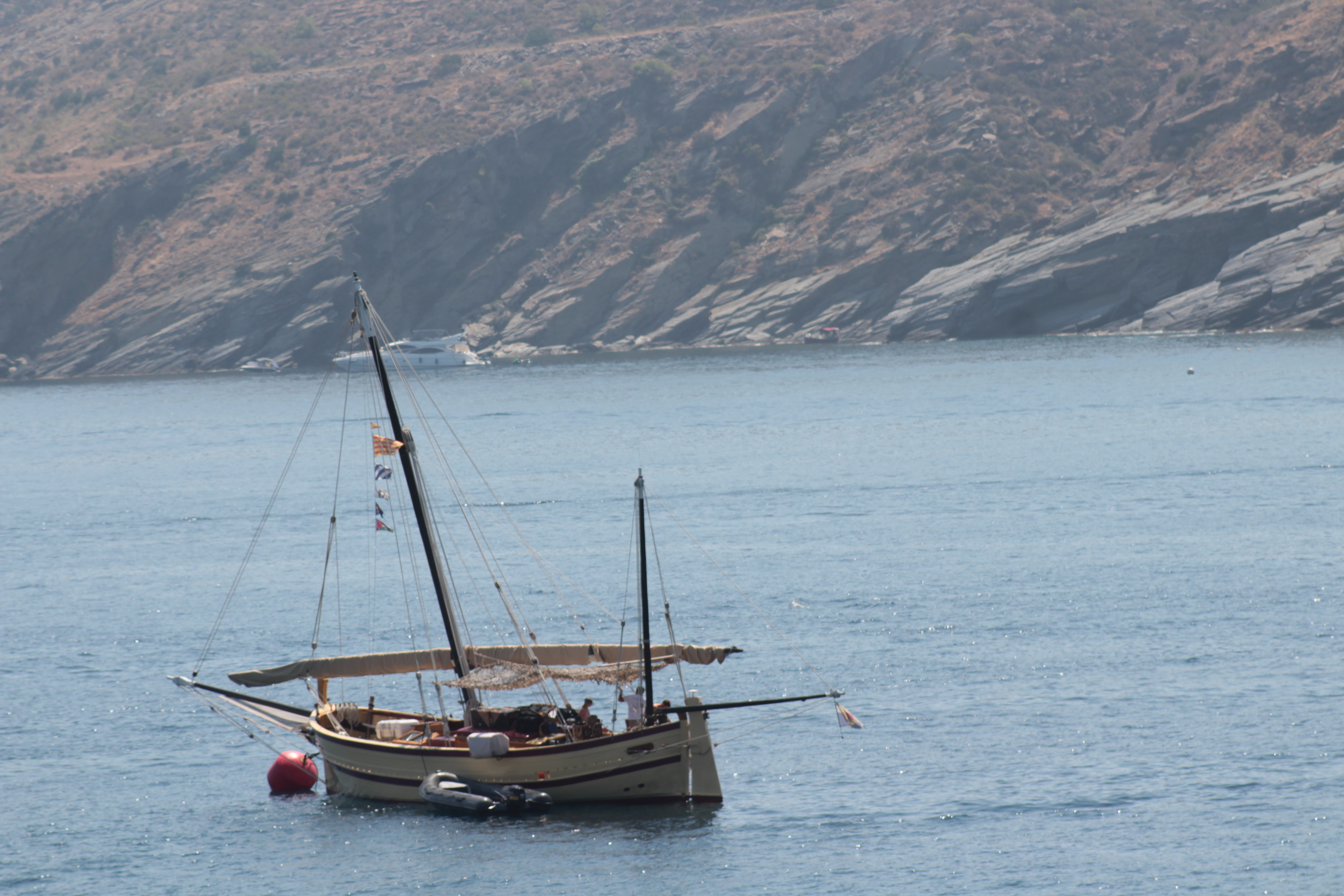
For a long time, its geographical isolation helped preserve a particular character. Land connections with the rest of the Empordà have never been easy, and for centuries the sea played an essential role in the life of its inhabitants.
The result is a town deeply tied to the Mediterranean, where the cobbled streets, the white façades, the small pebble beaches, the boats and the outline of the mountains form an ensemble of extraordinary landscape coherence. The Catalan government's Cultural Heritage department describes precisely this past as an isolated fishing town and its later appeal to artists and visitors.
Cap de Creus: rock, sea and tramuntana
A fundamental part of Cadaqués's uniqueness is explained by the territory around it.
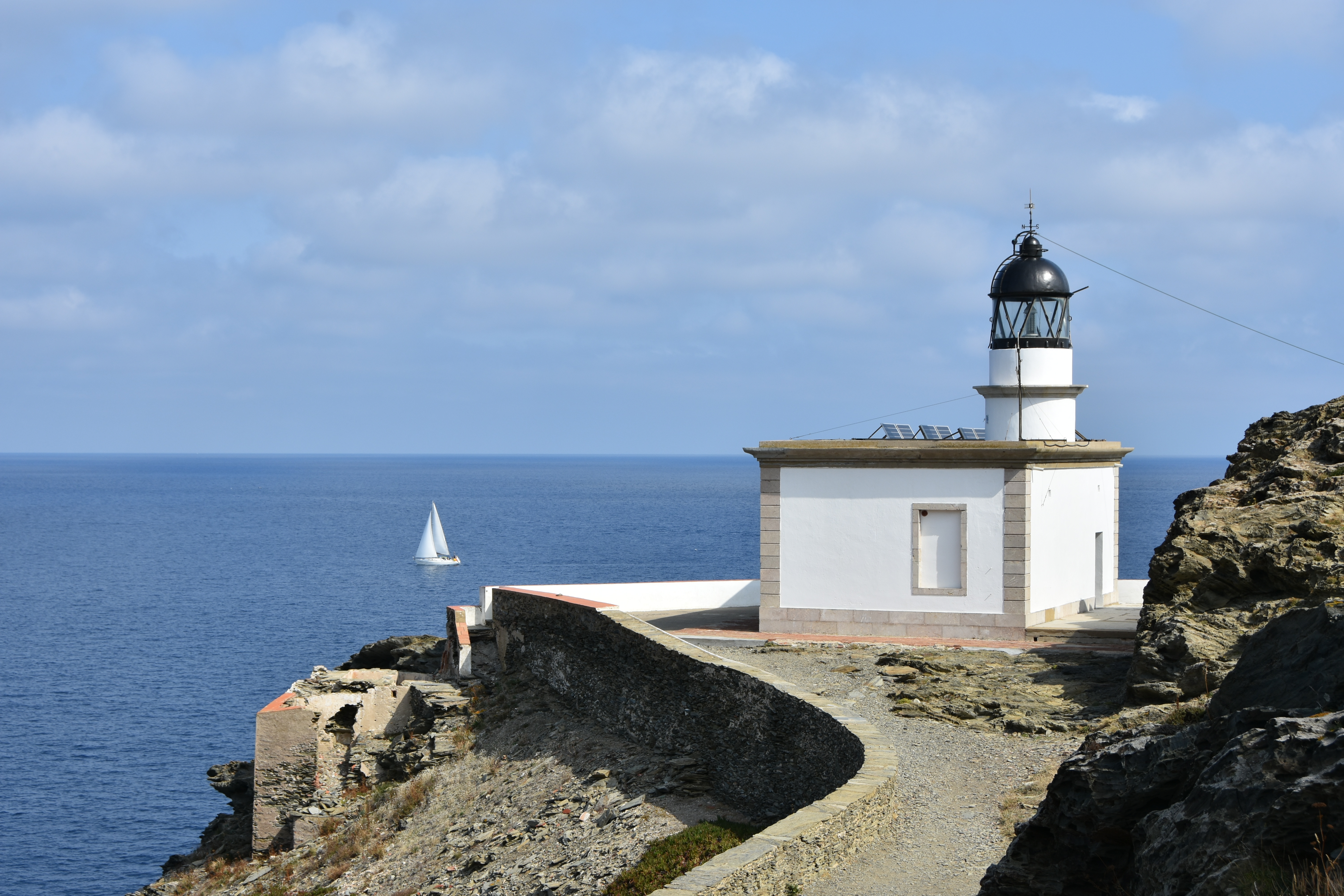
Cap de Creus is the easternmost point of the Iberian Peninsula and gives its name to the Cap de Creus Natural Park, the first land-and-sea natural park in Catalonia. The municipality's coast is predominantly rocky and made up of numerous small coves and beaches, many of pebbles.
The tramuntana, the wind, the salt and erosion have shaped astonishing geological forms over centuries. In certain spots, the rocks look like natural sculptures. This landscape does not simply act as a backdrop to Cadaqués: it is part of its identity.
It is this close relationship between architecture, geology, vegetation and sea that gives the town such a particular atmosphere.
Portlligat and Salvador Dalí
You cannot explain Cadaqués without talking about Salvador Dalí.
In the small bay of Portlligat, very close to the centre of Cadaqués, Dalí found a landscape that would become deeply linked to his work and his life.
In 1930 he bought a small fisherman's hut. Over time, he and Gala added other structures until they created the peculiar house we know today. Portlligat became one of the artist's main spaces for living and working. The Fundació Gala-Salvador Dalí itself explains the essential importance this landscape had in his career.
But Cadaqués attracted many other artists and intellectuals during the 20th century. Its light, the geological landscape of Cap de Creus, the sea and its certain isolation helped create an intense cultural atmosphere around the town.
Cadaqués beyond Dalí
Reducing Cadaqués solely to Salvador Dalí would, however, mean keeping only part of its story.
The town's singularity is also found in its vernacular architecture, in the old houses linked to seafaring families, in the church of Santa Maria dominating the skyline, in the small alleys that drop down to the sea and in a coast that constantly forces buildings to adapt to the terrain.
Cadaqués conveys an unusual feeling: that of a town that does not seem to have been simply built in front of a landscape, but within the landscape.
The houses adapt to the slopes. The streets follow the topography. The windows seek the sea. The rock enters the town visually and the white architecture contrasts with the greys, ochres and blues of the surroundings.
Perhaps this is where much of its strength lies.
El Port de la Selva, Llançà, Colera and Portbou: the northernmost end
The Costa Brava continues beyond Cadaqués.
On the other side of the Cap de Creus massif is el Port de la Selva, a seafaring town set in a large bay and surrounded by the mountainous landscape of the northern part of the natural park.
Higher up, Llançà combines different beaches and coves with a town centre of strong seafaring tradition. Colera, smaller, keeps an intimate scale between the mountains and the sea.
Finally we reach Portbou, the last municipality of the Costa Brava before the French border. Its geography among mountains deeply shaped its history, especially with the arrival of the railway. Portbou also keeps an important cultural dimension linked to the memory of the philosopher Walter Benjamin, who died there in 1940.
Here the Catalan Costa Brava ends administratively, but the Mediterranean landscape continues northwards along the Roussillon coast.
One coast, many landscapes
To speak of the Costa Brava as if it were a single landscape would be to oversimplify it.
To the south we find the vegetation and cliffs of la Selva; in the Baix Empordà appear coves, fishing villages and coastal paths; further north, the plains, dunes and wetlands open up the landscape around the Gulf of Roses; and finally Cap de Creus turns the coast into a mineral universe dominated by the wind, the rock and the sea.
Along its roughly 220 kilometres, the Costa Brava brings together 22 coastal municipalities and some 245 beaches and coves, as well as a considerable number of villages, maritime quarters and small centres that give each stretch of coast its own character.
Blanes is the gateway; Tossa de Mar, the medieval heritage facing the Mediterranean; Sant Feliu de Guíxols, the maritime history; Platja d'Aro and Lloret, the tourist development; Palamós, the fishing culture; Calella de Palafrugell, Llafranc and Tamariu, the seafaring memory; Begur, the coves and the rugged landscape; l'Estartit, the gateway to the Illes Medes; l'Escala, the union of sea, fishing and archaeology; Roses, the great bay; and Cadaqués, the almost perfect meeting of nature, architecture and artistic creation.
And perhaps it is precisely Cadaqués that helps us grasp one of the great qualities of the whole Costa Brava: the landscape is not only what you look at, but an element that shapes the way of building, living and relating to the Mediterranean.
From Sa Palomera, in Blanes, to the mountains around Portbou, the Costa Brava is the sum of many different landscapes joined by a single thread: the sea, the rock, the culture and Mediterranean life.